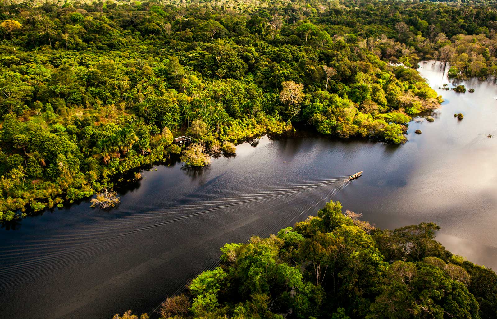
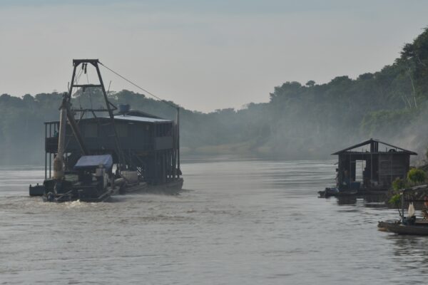
Texto: Maurília Gomes. | Foto: André Zumak. Elaborada pelo Laboratório de Geoprocessamento (LabGEO/FVA), a terceira Nota Técnica da série do projeto “Rotas e Pegadas: Caminhos...

Menu
Menu


Últimas notícias
Fundação está contratando empresa para atualização de website do MBRN A Fundação Vitória Amazônica (FVA) contrata PJ para serviço de atualização do site institucional para...
FVA realiza workshop sobre Redução de Riscos e Ameaças Socioambientais no Mosaico do Baixo Rio Negro
Texto: Maurília Gomes. | Fotos: Rodrigo Duarte. Iniciou hoje o Workshop sobre Redução de Riscos e Ameaças Socioambientais no Mosaico do Baixo Rio Negro, na...
Texto: Maurília Gomes. | Fotos: Rodrigo Duarte. Na quinta-feira, dia 26 de outubro, aconteceu a Feira da Agricultura Familiar e Pirarucu Manejado, edição especial como...


